A cold front is expected to result in strong to gale-force north-westerly to westerly winds over the interior of the Namakwa District of the Northern Cape and Central Karoo of the Western Cape.
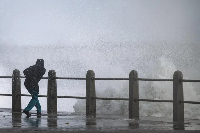
Image: Armand Hough/Independent Newspapers
It's going to be a partly cloudy to cool day in most parts of the country; however, according to the South African Weather Service, communities can expect icy temperatures from Tuesday as a cold front settles over parts of the Cape, and is expected to move across the country in the week.
For Monday, Saws says it will be warm in the northern parts of South Africa with isolated showers and thundershowers expected along the south-east and west coast.
From Tuesday, it's time to bundle up with cold weather expected.
"There will be isolated and scattered showers and possible snow," Saws said.
The forecaster says it will be partly cloudy and cool to warm but still cold to very cold over the south-western interior.
There will also be isolated to scattered rain and showers expected to spread to the eastern parts of the country by Wednesday.
"There is also a possibility of snow over the high-lying grounds of the Eastern and Western Cape.
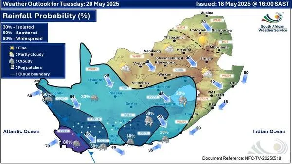
Tuesday's weather forecast
Image: Saws

Wednesday's weather forecast
Image: Saws
The forecaster has issued a Yellow Level 2 warning for wind on Tuesday.
"A cold front is expected to result in strong to gale-force north-westerly to westerly winds over the interior of the Namakwa District of the Northern Cape and Central Karoo of the Western Cape on Tuesday," Saws said.
This weather can lead to localised damage to formal and informal settlements.
"Expect longer travel times due to localised problems for high-sided vehicles, especially on the N1. Fallen trees may affect transport routes, properties, and localised power and communication interruptions," Saws added.
Cape Argus